1866 Map of Melbourne - Interesting for Grounds at the time.

Remove this Banner Ad

Michael Riley

Team Captain
Jun 17, 2012
394
350
AFL Club
St Kilda
Other Teams
Brighton VFA
This was just posted on the Melbourne group on reddit..originally from the East Melbourne Historical Society.
Slightly off topic here but I thought some might be interested.

Map is at https://emhs.org.au/gallery/maps/1866_isometrical_plan_melbourne_suburbs

I can find Richmond, StKilda and MCG grounds
no S.M. ground....no Albert Park Lake!
no East Melbourne Ground

Interesting at how many trees surround the MCG - It does not look cleared at all
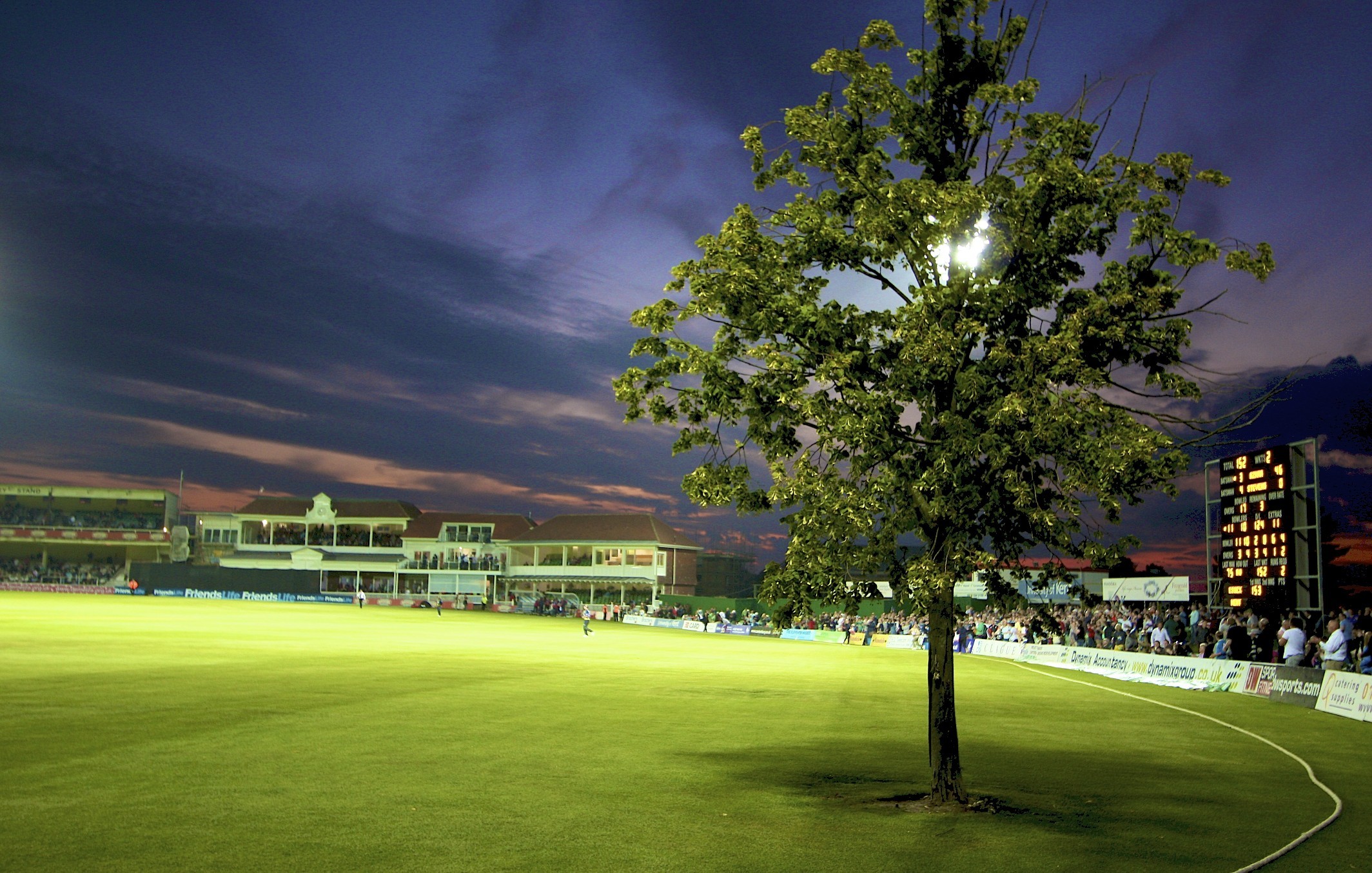
One of the grounds near the MCG has trees in the middle of it. I had read that this used to happen. Interesting to see it.
 
Albert Park lake was a shallow depression at the time, heavy rain and the place would flood.
 

Log in to remove this ad.

You can also see what I think is the Albert Ground on St Kilda Rd and the Junction Oval at the top of the picture. Thanks for the link, very interesting.
image_2021-07-19_002931.png
 
It's crazy that some of the first infrastructure built by Australians was sporting related. Looks like we've had our priorities in order for quite some time.
 

(Log in to remove this ad.)

It front of the Junction Oval is the train line that went from St Kilda station to Windsor station.
You've made me remember going to my Great Aunt and Uncles place in St Kilda which was really close to the station, one time when my dad's car was being repaired. It was quite an adventure I think it was the first or second time I had been on a train.
I saw Paul Sheehan hit a six off Paul Melville last ball before tea at the Albert Ground. It went over the top of the palm trees on its way out of the ground. I think it is one of the biggest hits I've ever seen. I heard later that it went across Queens Rd and was returned by a couple of startled golfers.
 
Last edited:
Elizabeth St was similar was it not? I think originally it was actually a river/creek....

If you stand on Southbank and look across the river towards Elizabeth St, you will see a large square opening in the concrete retaining wall below Flinders St Station. This is the outlet for the Elizabeth St drainage system, that drains a large proportion of the city centre. It was for many years (and possibly still is) known as the MMBW Drain #1.

This is a famous photo from the floods of 1972. The car is at the intersection of Lt Collins and Elizabeth St.
iu
 

Remove this Banner Ad

Back
Top